Research Projects
|
My research projects cover several topics such as geochemistry, geophysics, diagenesis, and GIS. Below you will find both previous work I have participated in at the University of Texas at El Paso (UTEP) as and undergraduate, my M.S. research at the University of Arizona, and my Ph.D. work at UTEP. If you have any questions about any of these projects please contact me for more information.
|
|
U-series Dating of Carbonates
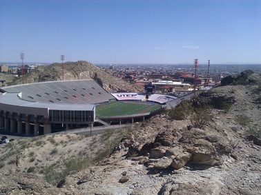
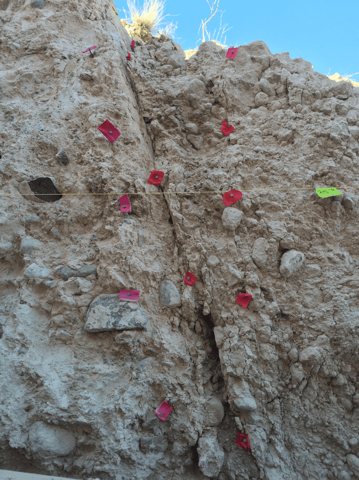
Complementing my master’s work, my Ph.D. research used U-series to date minerals and rocks that provided ages for past earthquake events and climate transitions recorded in the Rio Grande rift. I used U-series methods to date carbonates that formed on faults bordering the Franklin Mountains in El Paso, Texas. Dating the carbonate on the fault surface allows us to understand when geologically recent earthquakes occurred, how many, and how often. Another form of carbonates that forms along faults are travertine deposits. Travertines form as fluids, rich in aqueous carbon dioxide and calcium, travel up faults where the carbon dioxide degasses causing the formation of calcite (i.e. travertine deposits). The objectives of this research project were to (1) evaluate the history of travertine deposition and (2) whether the formation of travertine correlates with temporal associations with Rio Grande Rift extension, paleohydrology records, and regional paleo-climate. |
|
Thermochronology of Diagenetic Oxides Near Moab, Utah: Record of Paleo-Fluid Flow
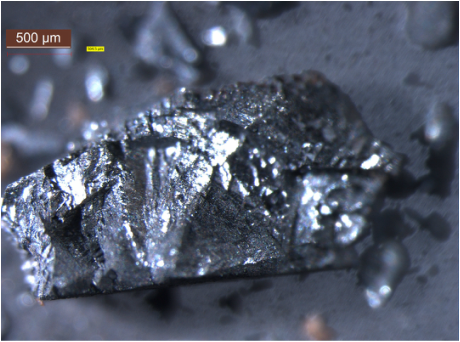
Paleo-groundwater in any given location has been difficult to interpret in the geologic record but it is important for several reasons including its effects on modern aquifers and hydrocarbon (petroleum and natural gas) potential. Diagenetic Mn- and Fe-oxides are a type of low-temperature secondary oxide minerals that are commonly found in faults, fractures, and as cement within sandstones of the Colorado Plateau that record paleo-fluid flow. By observing the different patterns of precipitation we can deduce how the groundwater system evolved through time and by radio-isotopically dating these different oxides we can tell when the system was last active. Preliminary data shows that there was a lot of water flowing through faults found south of Moab between 2-3 Ma, which was a time when the Earth's climate was undergoing very dramatic changes worldwide. Learn more... |
|
East Kalimantan Ground Truthing
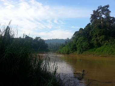
Forests in Indonesia are being converted to other uses due primarily to anthropogenic activities. Monitoring land cover change is critical for preserving biodiversity and developing government regulations. Using satellite imagery is potentially a cost‐effective method for monitoring land cover changes. For this project we collected GPS-‐tagged photographs of different land uses in East Kalimantan, Indonesia, for use in both verification of land cover types determined through analysis of LANDSAT 8 imagery, and for improvement of future analyses. Through this work we were able to determine that the pre‐classification of land use was best for urban land use, but overall the pre‐classification only matched 17.2% of the actual land use. The data that we collected will be useful in improving the classification of land cover types using LANDSAT imagery. We also collected time-lapse cameras tha had been collecting phenological data over the past year that were located in various locations in the rain forests of East Kalimantan. |
|
Developing 3-D Shear Wave Models Using a Multi-objective Joint Inversion Scheme (SMARTS Undergraduate Mentee)
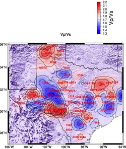
The goal of the SMARTS program was to enhance research experience for undergraduate students by working with a graduate student mentor. As a SMARTS mentee I worked on a geophysics project under the guidance of a PhD student. For this research, our main purpose was to obtain a better understanding of the Earths tectonic processes in the Texas region. We used data from the USArray EarthScope experiment to image the crust and upper mantle structures of Texas. We employed a joint inversion scheme using multiple geophysical datasets to obtain cross sections, 2-D shear wave depth slices, and 3-D velocity structure models of Texas in order to identify an ancient rift system within Texas. |
|
Study at Sea: Rurutu Hotspot Expedition 2013
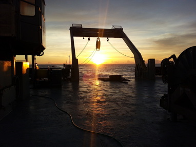
Current absolute plate motion (APM) models for the Pacific include the Hawaiian-Emperor and Louisville tracks, which are long-lived hotspot tracks. The goal of this project is to trace the hotspot track anchored at Rurutu Island through Samoa and Tuvalu to include a third track that would allow for a more robust evaluation of the relationship between APM models and inter-hotspot drift. This is done by using ages and isotopic compositions as evidence that the Rurutu hotspot is a potential third long-lived Pacific hotspot trail. My role in this project was that of an undergraduate student gaining valuable experience in a research project while at sea on the RR1310 R/V Roger Revelle expedition for six weeks. Duties included processing dredge samples (making rock slabs/sample billets, rock descriptions, measurements, packing, etc.), deploying/retrieving dredges and magnetometer on/off the ship, editing ping data for bathymetry, and participating in at-sea seminars. For more information visit the expedition website. http://earthref.org/ERESE/projects/RR1310/ |
Last Update: 07/27/2020
